Describe your topology map
Mountain region with valleys, coastal area with cliffs...

Create topographic maps with elevation contours, terrain features, and geographic details
Reference media and sample results for this task.
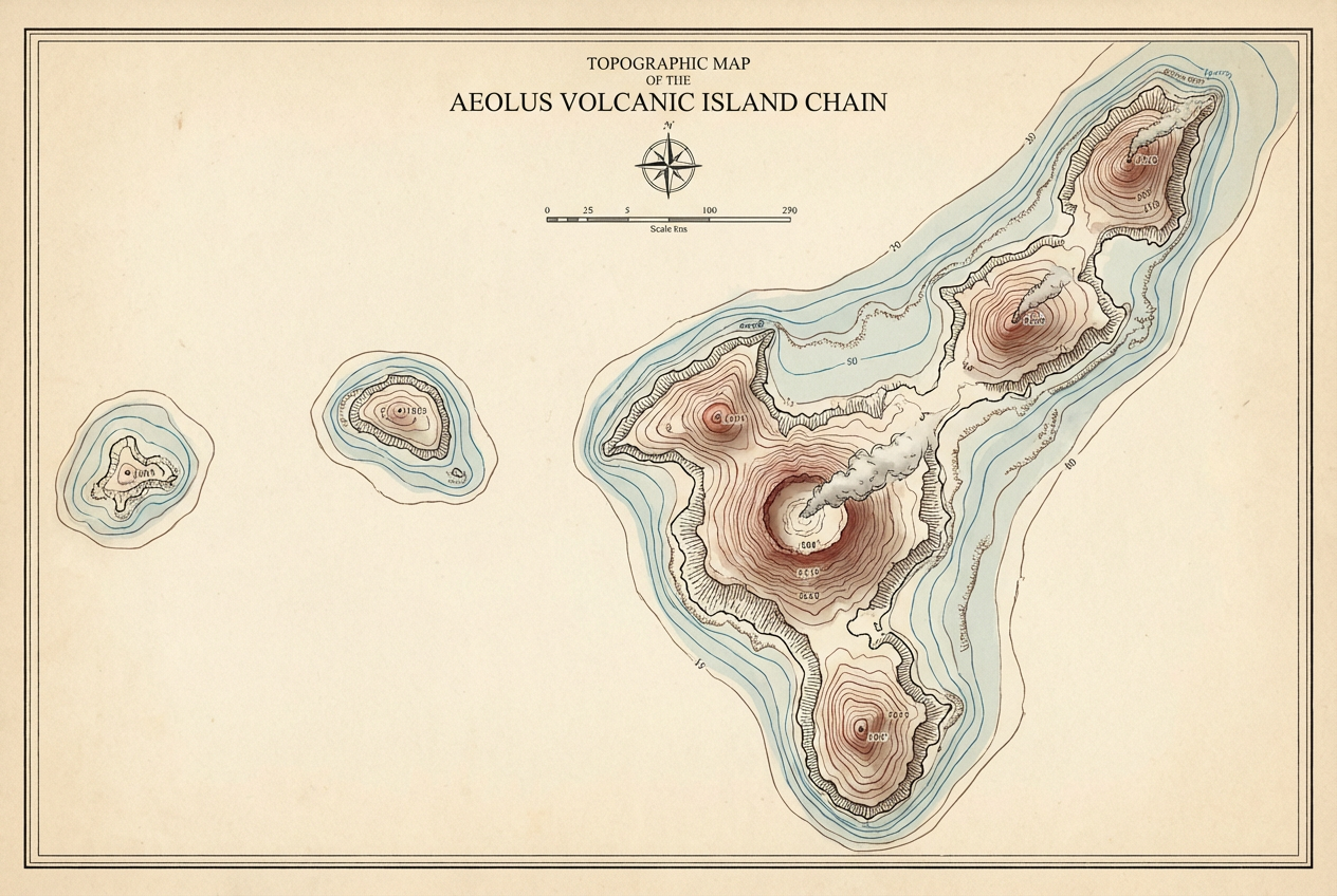
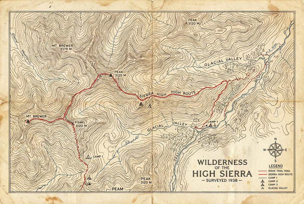
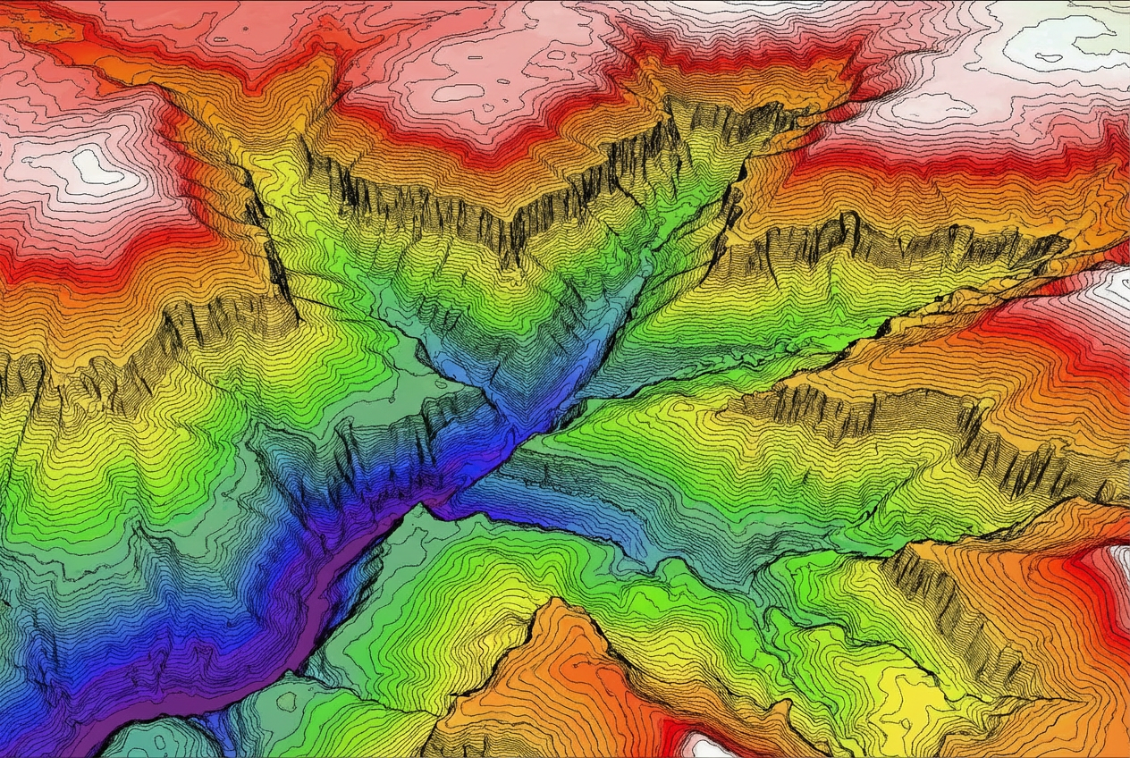
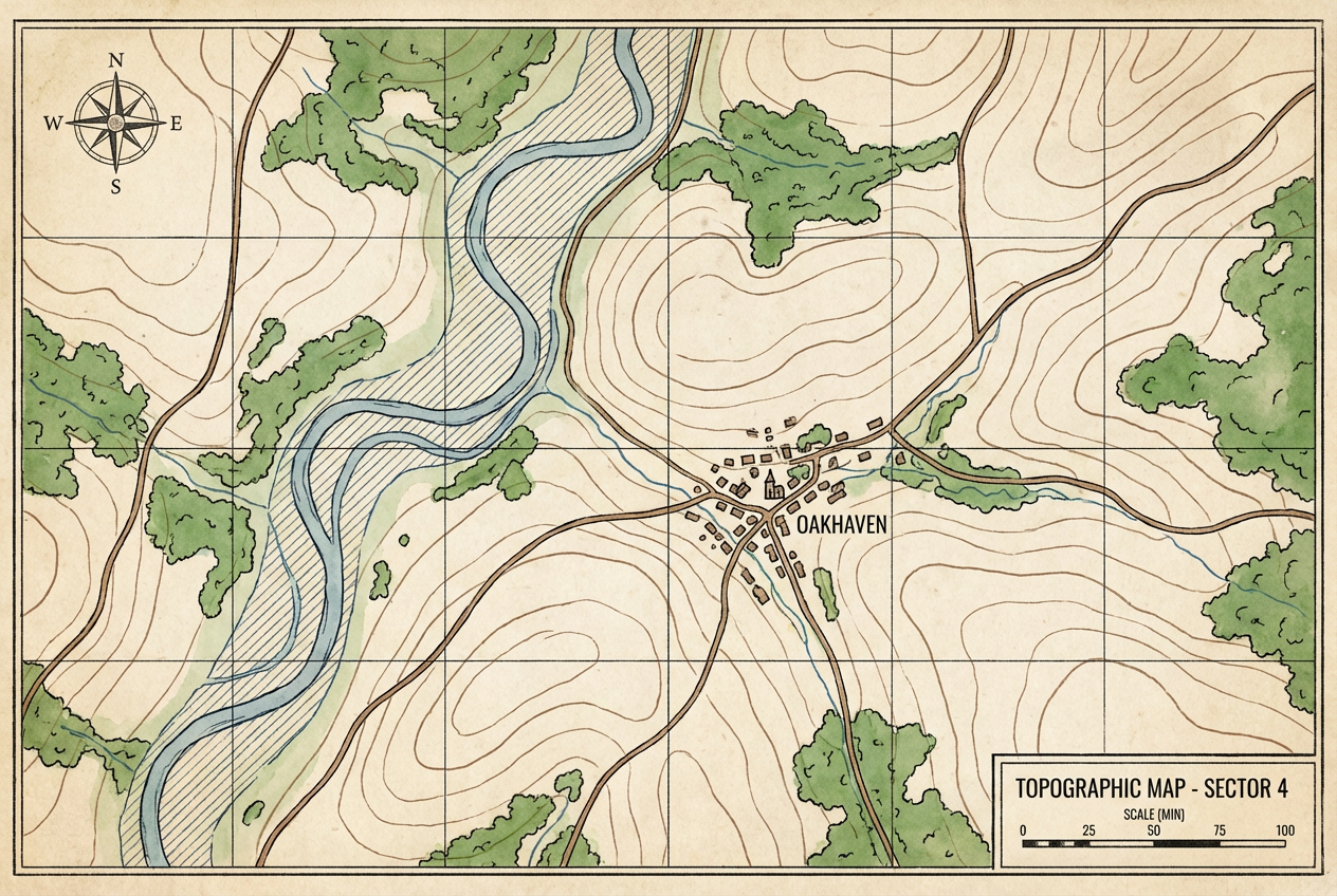
The agent gathers these inputs and preferences in the conversation before it starts.
Mountain region with valleys, coastal area with cliffs...
Choose the type of geographic region
Choices: Any Region Type, Mountain Range, Coastal Area, Valley, Plateau, Canyon, Island, Plains/Flatland, Highland
Choices: Standard Density, Sparse (Wide Intervals), Moderate, Dense (Detailed)
Choices: Standard Topographic, Color-Coded Elevation, Relief/Shaded, Vintage Style, Modern/Clean
Choices: Standard Scale, Large Scale (Detailed), Medium Scale, Small Scale (Overview)
Choices: Any Features, Water Bodies, Forest Cover, Roads/Trails, Settlements
Include elevation scale and legend
Include coordinate grid lines
Create professional topographic maps with elevation contours instantly with AI, perfect for geography, education, hiking, and land analysis.
Create professional topographic maps in three simple steps
Describe the terrain type, elevation features, and geographic area you want to map.
Choose contour density, map style, scale, and additional features like water or roads.
Download your professional topographic map with legend and coordinates.
Mountain ranges, coastal areas, valleys, plateaus, canyons, islands, plains, and highlands.
Adjustable contour line density from sparse to dense for varying detail levels.
Standard topographic, color-coded elevation, relief shading, vintage, or modern styles.
Large scale for detailed areas, medium for regional views, small for overviews.
Add water bodies, forest cover, roads/trails, and settlements to your map.
Include elevation legends, coordinate grids, and professional cartographic details.
Perfect for educators, outdoor enthusiasts, and professionals
Teach geography, geology, and topography with custom-generated maps for any region.
Plan hiking routes and understand terrain elevation for outdoor adventures.
Analyze terrain for construction, agriculture, and land development projects.
Create topographic maps for research, presentations, and geographic analysis.
Generate realistic terrain maps for video games and simulations.
Visualize fictional worlds with accurate topographic detail for novels and RPGs.
Include details like 'steep mountain slopes', 'gentle rolling hills', or 'dramatic cliffs and valleys'.
Use sparse contours for overview maps, dense for detailed terrain analysis.
Color-coded for quick elevation understanding, relief for realistic visualization, vintage for aesthetic.
Include water bodies for coastal maps, roads for hiking maps, settlements for populated areas.
Enable the legend to show elevation scale, making your map easy to interpret.
A topology map (topographic map) shows elevation and terrain features using contour lines, representing the three-dimensional shape of the land on a two-dimensional surface.
You can create maps for mountain ranges, coastal areas, valleys, plateaus, canyons, islands, plains, and highlands.
Contour lines connect points of equal elevation, showing the shape and steepness of terrain. Closer lines indicate steeper slopes.
Yes, you can choose sparse (wide intervals), moderate, or dense (detailed) contour line density.
Standard topographic, color-coded elevation, relief/shaded, vintage style, or modern/clean styles are all available.
Yes, you can add water bodies, forest cover, roads/trails, and settlements to your topographic maps.
Yes, you can enable elevation legends and coordinate grid systems for professional cartographic maps.
Yes, these topographic maps are perfect for planning hiking routes and understanding terrain difficulty.
Yes, the maps are ideal for teaching geography, geology, topography, and earth sciences.
Yes, all generated topology maps are available for commercial use including education, publications, and professional projects.


