This blog post discusses the innovative use of drone technology for deer management on Don Higgins's farm. Jack Houston from Missouri Drone Deer Recovery shares insights on deer population surveys, herd analysis, and the importance of maintaining balanced buck-to-doe ratios. The article highlights the benefits of using thermal imaging for effective wildlife management and habitat improvement.
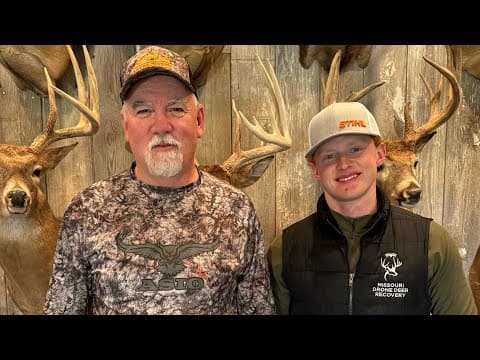
In the realm of wildlife management, technology is playing an increasingly vital role. Recently, Don Higgins welcomed Jack Houston from Missouri Drone Deer Recovery to his farm for a thermal imaging survey of the deer population. This innovative approach not only provides insights into deer numbers but also aids in effective management strategies. In this blog post, we will delve into the details of their discussion, exploring the benefits of drone technology in deer management.
At the outset of their conversation, Don expressed his initial guess of 40 deer on his property. However, Jack's survey revealed a surprising count of 53 deer. This discrepancy highlights a common trend where landowners often underestimate their deer populations by 20 to 25%.
Jack noted that the warm weather and mild winter had likely caused many deer to disperse from the area earlier than usual. As spring approaches, deer typically move to their summer ranges, making accurate counts crucial for effective management.
Jack explained the services provided by Missouri Drone Deer Recovery, which include:
Jack mentioned that many clients rebook for follow-up surveys to assess changes in deer populations over time. This ongoing analysis allows landowners to implement habitat changes and monitor their effectiveness.
During the survey, Jack discussed the significance of buck-to-doe ratios. He noted that a typical ratio in North Missouri and Southern Iowa is about four antlerless deer for every antlered deer. Ratios skewed too high may indicate an imbalance in the deer population, necessitating doe management.
Jack emphasized that maintaining a balanced ratio is crucial for the health of the deer herd. Overpopulation can lead to social stress among deer, which in turn affects the growth potential of mature bucks. He pointed out that properties producing larger deer often have populations below 100 deer per square mile.
The use of thermal drones allows for precise tracking of deer without disturbing them. Jack explained that the technology enables land managers to identify where deer are bedding, which is essential for making informed habitat changes.
After conducting a survey, Jack provides clients with a detailed report that includes:
Jack advised that the best time for conducting these surveys is from November to the end of March when the leaves are off the trees. This visibility allows for more accurate counts and assessments.
During the survey, Jack noted several key observations:
Jack shared that clients often ask about the impact of drones on deer behavior, the distance drones can fly, and the most interesting things he has observed during surveys. He reassured that drones typically do not spook deer, as they operate at a height of around 400 feet.
Jack highlighted the potential for drone surveys to assist prospective property buyers in understanding deer populations and bedding areas before making a purchase. This information can significantly reduce the learning curve for new landowners.
The integration of drone technology into deer management practices offers landowners valuable insights into their wildlife populations. By utilizing services like those provided by Missouri Drone Deer Recovery, landowners can make informed decisions to enhance their properties for deer health and growth. For anyone interested in fine-tuning their deer management strategies, reaching out to Jack Houston could be a game-changer.