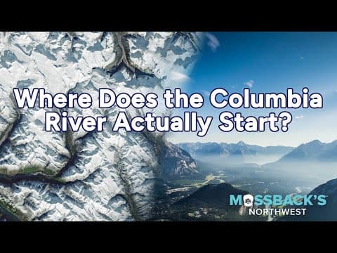
The Columbia River, often overlooked in its origins, begins in the Rocky Mountain Trench of British Columbia, where it flows north before turning south towards the Pacific. This blog explores its historical significance, the indigenous narratives surrounding it, and the environmental challenges it faces today.
The Columbia River, a vital waterway in the Pacific Northwest, has a complex history that begins far from its mouth. While seasoned explorers have often overlooked its origins, the river's headwaters present a fascinating story of geography, culture, and environmental change.
The Columbia River stretches approximately 1,200 miles, gaining momentum in the Rocky Mountain Trench, nestled between the Rockies and Purcell Ranges in eastern British Columbia. Contrary to expectations that it would flow south or west, the river initially runs north for about 200 miles before making a dramatic hairpin turn to begin its journey toward the Pacific Ocean. This unique path resembles an untwisted paperclip, showcasing the river's intricate course.
The traditional lands of the Sinixt people extend from Kettle Falls and the Colville Reservation in the United States to the river's hairpin turn at Mica in Canada. Sinixt storyteller Marilyn James shares a captivating origin story of the river, where Coyote falls in love with Rain. In a poignant twist, Rain sacrifices her heart for Coyote, and where her heart lands becomes the headwaters of the Columbia, with the blood flowing from it forming the river itself. This narrative highlights the river's significance as the lifeblood of the region.
Today, the headwaters of the Columbia are recognized as Columbia Lake, an eight-mile-long body of relatively shallow water. The historical context of the river's exploration is equally compelling. When white fur traders first arrived over Athabasca Pass from modern-day Alberta, they unknowingly set up a trading post, Kootenae House, near the river's origin.
David Thompson, a Welsh Canadian fur trader and surveyor, played a pivotal role in mapping the Columbia River in the early 1800s. In 1811, he and his party became the first known Europeans to navigate the entire length of the Columbia, traveling from Kettle Falls to its junction with the Snake River near present-day Tri-Cities. At that time, the river was fraught with challenges, including falls and rapids, making Thompson's journey not only a quest for trade but also a strategic move to lay claim to the region ahead of American colonizers.
Thompson's explorations provided valuable insights into the geography of the Columbia's drainage across Western Canada, Idaho, Montana, and Washington. His accounts reflect the remoteness and isolation of the region, which remains a complex and beautiful wilderness today.
Even for an experienced adventurer like Thompson, the Columbia River region carried an air of mystery. During one of his treks, his party encountered unusual footprints in the snow, believed by his indigenous companions to belong to an elephant-like creature said to inhabit the area. This creature, described as 18 feet high and a vegetarian, added to the allure of the wilderness, which was rumored to still harbor remnants of the Ice Age, including woolly mammoths.
Jack Nisbet, an author who retraced Thompson's steps, noted the intriguing nature of these accounts, suggesting that the Whirlpool River drainage indeed has an Ice Age appearance, with vast empty spaces that could conceal such relics.
The Columbia River's origins are deeply intertwined with the region's glacial history. The river begins with rain, snow, and glacier melt, primarily from the vast Columbia Icefield in the Rockies, which straddles the continental divide between Alberta and British Columbia. This icefield, formed approximately 200,000 years ago during the Illinoian Glaciation, feeds into multiple rivers, including the North Saskatchewan, Athabasca, Fraser, and Columbia.
However, the Columbia Icefield, like many glaciers in British Columbia, is shrinking due to climate change. A study published in the journal "Science" in 2023 warns that most glaciers in western Canada could disappear within 80 years due to rising global temperatures. This decline poses significant risks to the region's freshwater supply, irrigation, fish habitats, and hydropower production, which has already been affected by drought and reduced snowpack.
The phrase "Roll on, Columbia" encapsulates the river's enduring significance, but it is a reminder that the future of the Columbia River and its headwaters is uncertain. The generation being born now may be the last to experience the river as it has been known for centuries. As we reflect on the Columbia's origins and its journey through history, we must also consider the environmental challenges that threaten its existence and the ecosystems it supports.