This blog post explores the flood risks in Kitakyushu, Japan, particularly focusing on the Kanayama River basin. It discusses the impact of climate change on flooding, historical flood events, and the importance of timely evacuation based on hazard maps and local government alerts.
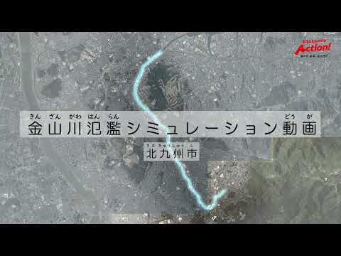
The following content presents a simulation video depicting potential flooding scenarios in the Kanayama River basin, located in the western part of Kitakyushu City. This simulation is crucial for understanding the risks associated with extreme weather events, particularly in light of recent climate change trends.
In recent years, the frequency and intensity of floods have increased significantly due to climate change. This has led to severe water damage across various regions, resulting in substantial impacts on human life and the economy. For instance, during the heavy rains in July 2018, Kitakyushu City recorded rainfall of up to 69 mm in just one hour, leading to flooding in areas such as the Itagawa and Murasaki River basins. Similarly, in 1999, flooding also occurred in the Kanayama River basin.
In response to these challenges, the Kanayama River management has been proactive in enhancing flood defenses. The city is working to ensure that even a once-in-50-years rainfall event does not lead to flooding. New facilities, including underground retention basins, are set to be completed by fiscal year 2024, which will significantly improve safety against flooding.
However, it is important to note that even with these improvements, there remains a risk of flooding if rainfall exceeds the 50-year threshold. For example, a rainfall of 236 mm in a single day is considered a significant flood risk, especially given that on July 5, 2017, Asakura City recorded an alarming 545.5 mm of rain in one day.
In the event of continuous rainfall that poses a flooding risk, it is crucial for residents of Kitakyushu to follow evacuation information issued by the city promptly. The Kanayama River has specific thresholds for issuing evacuation alerts. When water levels exceed predetermined criteria near the Shimo-Ohashi area, evacuation information is disseminated. If water levels continue to rise, particularly for vulnerable populations such as the elderly, evacuation orders will be issued.
Residents must be prepared to evacuate quickly, especially in smaller river basins like the Kanayama River, where water levels can rise rapidly. The simulation illustrates potential flooding scenarios, particularly around the Shimo-Ohashi area, where residential and commercial properties could be at risk.
The city has installed surveillance cameras at key locations to monitor water levels, and this information can be accessed through the Kitakyushu Disaster Prevention Information platform. Residents are encouraged to begin evacuation preparations as soon as water levels in retention basins start to rise.
If the retention basins overflow, areas such as Hachigo Junior High School and surrounding neighborhoods may experience flooding. The risk of flooding increases significantly when retention basins reach capacity, highlighting the need for residents to stay informed about weather forecasts and evacuation alerts.
When evacuating, residents should:
Looking ahead, the city plans to utilize digital transformation (DX) technologies to create dynamic hazard maps that will help residents understand flood risks better. The information shared in this simulation video serves as a guide for early evacuation preparations and appropriate actions during flooding events.
The simulation of flooding scenarios in the Kanayama River basin underscores the importance of preparedness and timely action in the face of increasing flood risks due to climate change. By staying informed and following evacuation protocols, residents can enhance their safety during extreme weather events.