This blog post explores the Texas floods of July 2025 through an engineering perspective, discussing the unpredictability of weather, the complexities of flood prediction, and the importance of effective communication about flood risks. It highlights the limitations of historical data, the significance of real-time measurements, and the need for better public understanding of flood hazards and uncertainties.
On July 3, 2025, central Texas experienced torrential rain due to the remnants of Tropical Storm Barry. A severe storm settled northwest of San Antonio, leading to unprecedented flooding in the Guadalupe River basin. This event resulted in one of the deadliest inland flooding incidents in the past 50 years, claiming over 100 lives, many of whom were children. As an engineer living near the affected areas, I have spent my career focusing on flood management and the complexities of predicting such disasters. This post aims to analyze the Texas floods through an engineering lens, discussing the challenges of flood prediction and the lessons learned from this tragedy.
One of the fundamental challenges in engineering is the inability to predict the future, particularly regarding weather events. Civil engineers must make decisions based on uncertain data, often balancing safety with budget constraints. For instance, while it may be prudent to design a dam to withstand extreme weather, the costs can be prohibitive. Thus, engineers often rely on historical data to inform their predictions, but this approach has its limitations.
For decades, engineers have utilized Technical Paper 40 (TP 40), published in 1961, which compiled rainfall data across the contiguous United States to estimate flood probabilities. This document introduced the concept of recurrence intervals, such as the infamous "100-year flood." However, this terminology is often misunderstood. A 100-year flood does not imply that such an event will occur once every century; rather, it signifies a 1% chance of occurrence in any given year.
The misconception surrounding recurrence intervals can lead to dangerous assumptions. Floods are statistically independent events, meaning that the occurrence of one does not influence the likelihood of another. This misunderstanding can create a false sense of security, leading communities to underestimate their flood risks.
The flooding in the Guadalupe River basin exemplifies the challenges of flood prediction. On July 4, 2025, a localized storm dropped significant rainfall in a short period, leading to a flash flood. Despite the historical data indicating a 100-year rainfall of approximately 9.5 inches, the actual rainfall during the event exceeded this estimate in certain areas, highlighting the limitations of relying solely on historical data.
The rainfall data from the flood event revealed enormous spatial variability. Some areas experienced extreme precipitation, while others received minimal rainfall. This variability complicates flood predictions, as traditional rain gauges may not capture localized events accurately. The sparse distribution of rain gauges further exacerbates this issue, as many have never recorded events of the magnitude being predicted.
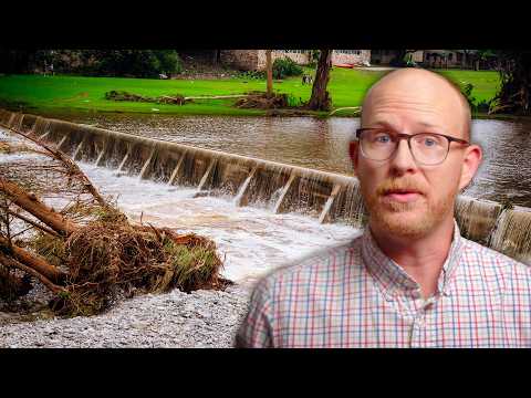
During the flood, the Guadalupe River rose dramatically, with some areas experiencing a 20-foot increase in just a few hours. This rapid rise underscores the importance of real-time measurements and monitoring systems. Unfortunately, many stream gauges can fail during flooding, leaving critical gaps in data collection. Engineers often have to rely on post-event assessments to validate flood data, which can lead to further uncertainties in future predictions.
Another layer of complexity in flood prediction is the assumption of temporal stationarity, which posits that the distribution of extreme weather events remains constant over time. However, climate change is altering weather patterns, leading to increased rainfall intensity and frequency. While some studies indicate a rise in extreme rainfall events, the data is often inconsistent and varies by region.
As engineers, we must design infrastructure not only for current conditions but also for future scenarios influenced by climate change. This requires a shift in how we approach flood risk assessments, as relying on outdated data can lead to underestimating future flood risks.
Effective communication about flood risks is crucial for public safety. Many individuals lack a clear understanding of flood probabilities and the uncertainties involved in predictions. This gap in knowledge can lead to complacency and inadequate preparation for potential flooding events.
Floodplain maps play a significant role in informing communities about flood risks. However, these maps often present a binary view of flood zones, which can mislead property owners about their actual risk. The crisp lines delineating flood zones do not account for the inherent uncertainties in flood predictions, potentially leading to a false sense of security.
The Texas floods of July 2025 serve as a stark reminder of the complexities involved in flood prediction and management. As engineers and professionals in the field, we must strive to improve our understanding of flood risks and enhance our communication with the public. By acknowledging uncertainties and providing clear, accessible information, we can empower communities to better prepare for future flooding events. The lessons learned from this tragedy should guide our efforts to create safer, more resilient infrastructure in the face of an uncertain future.