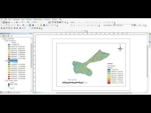
This blog post provides a comprehensive guide on calculating the LS factor of the Revised Universal Soil Loss Equation (RUSLE) using the Unit Stream Power Erosion and Deposition (USPED) method in ArcMap. It covers the necessary steps including generating flow accumulation and slope maps, using raster calculations, and interpreting the results.
Welcome to the tutorial on calculating the LS factor of the Revised Universal Soil Loss Equation (RUSLE) using the Unit Stream Power Erosion and Deposition (USPED) method in ArcMap. This method is essential for understanding soil loss in a given area and involves several steps, including generating flow accumulation and slope maps.
The LS factor is a crucial component of the RUSLE, which estimates soil erosion by water. It is influenced by the length (L) and steepness (S) of the slope. In this tutorial, we will use raster calculations to derive the LS factor from the flow accumulation and slope of the watershed or area of interest.
To begin, you need to launch ArcGIS and add your Digital Elevation Model (DEM) of the study area. This DEM will serve as the basis for generating the necessary maps.
Now that we have both the flow accumulation and slope maps, we can calculate the LS factor using the raster calculator.
Once the LS factor map is generated, you can classify it for better visualization.
You have successfully calculated the LS factor of the RUSLE using the USPED method in ArcMap. This step-by-step guide has walked you through the process of generating flow accumulation and slope maps, performing raster calculations, and classifying the results for analysis. If you found this tutorial helpful, please give it a thumbs up and leave your comments below. Thank you for watching!